
Turn abandoned patents
into your own filing
into your own filing
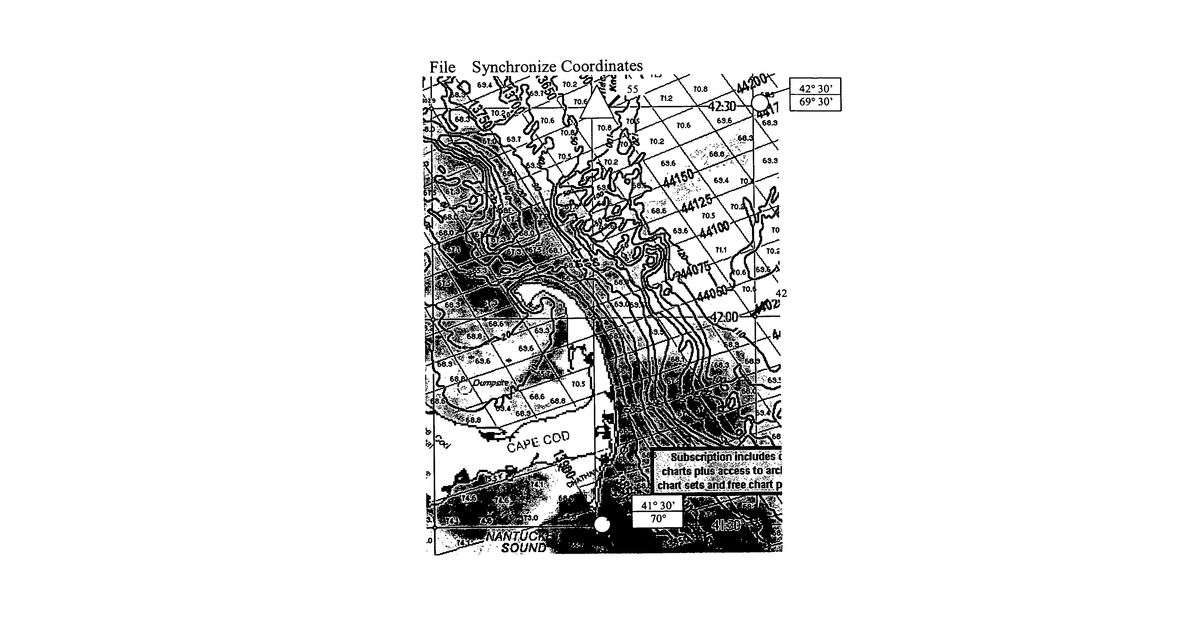
This system helps fishermen navigate by displaying their boat's position on detailed online maps that show ocean temperature and depth. A computer program uses GPS data to plot the boat's location within a custom grid, which the user defines by selecting two points on the map. The system specifically uses Doppler or satellite infrared radar for weather information.
Why it matters: Filed before widespread high-resolution marine data and advanced mobile computing. Today, cloud-based marine charting services and powerful mobile devices make accessing and displaying such detailed information much more feasible and user-friendly.
AI gives you a few directions you could take this. Pick one, and we check whether your version is different enough to patent, then write the filing.
Reinvent this with AI


