
Turn abandoned patents
into your own filing
into your own filing
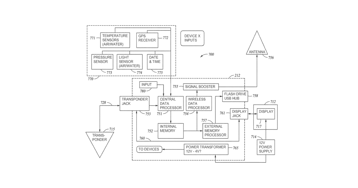
This invention describes a way to create maps of bodies of water by collecting different kinds of information, such as location, time, sensor readings, and notes, from many people using fishing monitoring equipment. It then matches up all this data to build detailed maps, which can also include information from other sources.
Why it matters: Filed before widespread cloud computing and mobile app ecosystems made aggregating diverse geospatial data from a plurality of users significantly easier. Modern data processing and mapping tools also streamline the correlation and visualization steps.
AI gives you a few directions you could take this. Pick one, and we check whether your version is different enough to patent, then write the filing.
Reinvent this with AI


