
Turn abandoned patents
into your own filing
into your own filing
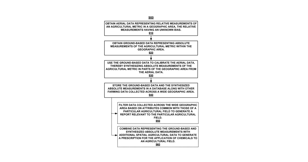
This invention describes a system that combines aerial surveys with ground-based measurements to understand agricultural conditions across large farming areas. Aerial data shows relative differences in things like crop health or soil moisture, but isn't exact. Ground data provides precise measurements for smaller sections. The system uses the precise ground data to calibrate the broader aerial data, creating accurate, absolute measurements for the entire region. One specific version uses an aircraft for the aerial data.
Why it matters: Filed before widespread, affordable drone technology and advanced machine learning for data fusion. Calibrating relative aerial data with ground truth is now significantly more efficient with improved sensors and sophisticated AI algorithms.
AI gives you a few directions you could take this. Pick one, and we check whether your version is different enough to patent, then write the filing.
Reinvent this with AI


