
Turn abandoned patents
into your own filing
into your own filing
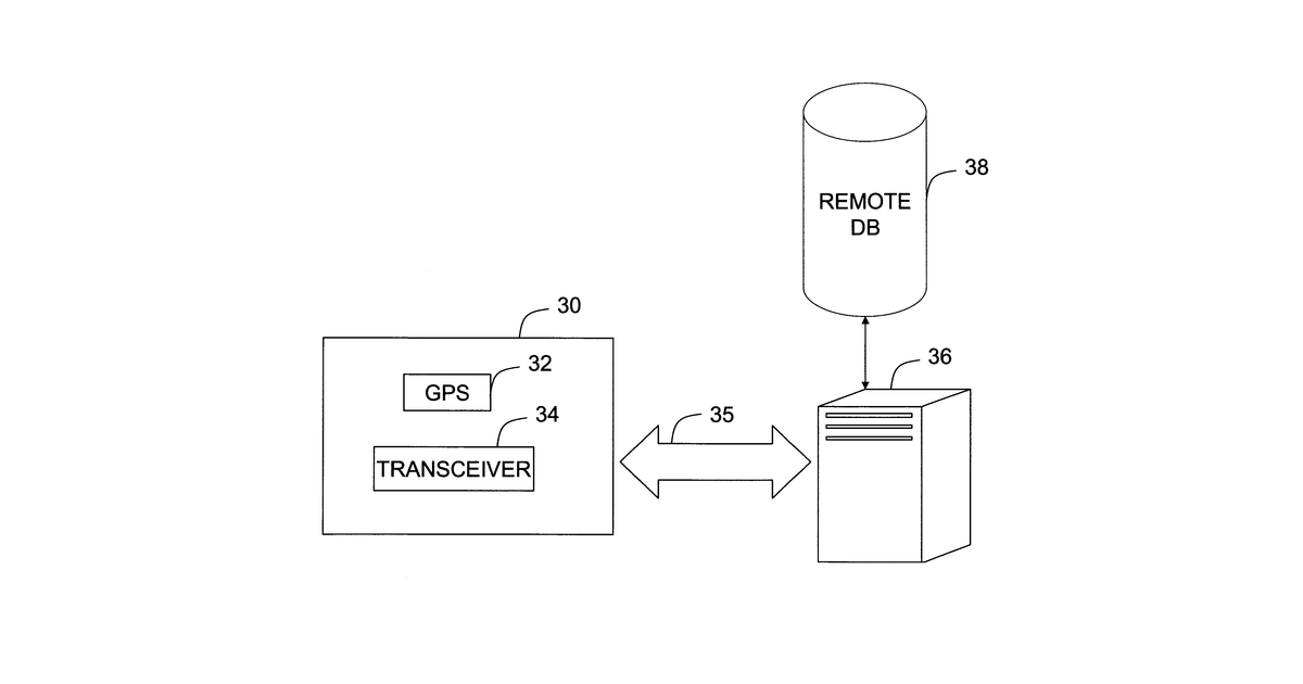
A farmer uses a mobile device to determine their location in a field, which helps identify a specific crop management zone. The device sends collected information about the crops, potentially including images of plant conditions, to a remote system for analysis. The results of this analysis are then communicated back to the farmer's device. The farmer can also use the mobile device to define these crop management zones.
Why it matters: Filed before ubiquitous high-resolution smartphone cameras and advanced AI for image analysis. These technologies now make real-time, on-device data collection and cloud-based analysis of plant conditions highly practical.
AI gives you a few directions you could take this. Pick one, and we check whether your version is different enough to patent, then write the filing.
Reinvent this with AI


