
Turn abandoned patents
into your own filing
into your own filing
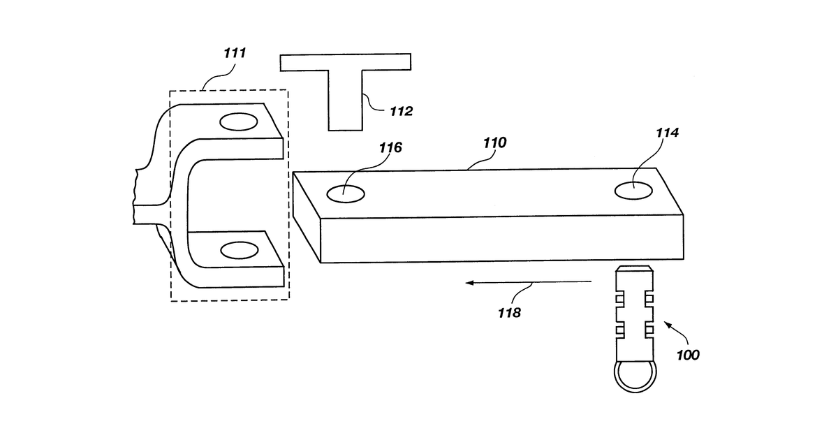
This invention describes a system that maps soil characteristics by measuring the force a tractor uses to pull an implement through the ground. A special hitch pin measures this pulling force, and a global positioning system records the location of each measurement. This data is then analyzed to create a map showing how soil properties vary across a field.
Why it matters: Filed before widespread, affordable high-precision GPS and powerful mobile computing. Today, these technologies make real-time, accurate soil mapping much more feasible and cost-effective.
AI gives you a few directions you could take this. Pick one, and we check whether your version is different enough to patent, then write the filing.
Reinvent this with AI


