
Turn abandoned patents
into your own filing
into your own filing
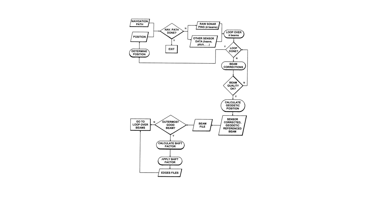
This invention describes an automated system for surveying an area, typically underwater, using swath sensors. It works by autonomously controlling a survey vessel to follow pre-planned paths within a defined polygon, adjusting its survey strategy in real-time based on environmental conditions to ensure data quality and maximize coverage.
Why it matters: Filed before modern computational power and AI for autonomous systems were widely available. The real-time data processing, autonomous vessel control, and dynamic survey adjustments described are now significantly more robust and efficient.
AI gives you a few directions you could take this. Pick one, and we check whether your version is different enough to patent, then write the filing.
Reinvent this with AI


