
Turn abandoned patents
into your own filing
into your own filing
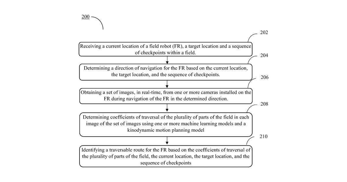
This invention describes a method for a field robot to navigate autonomously. It takes its current location, a target, and intermediate checkpoints, then uses images from its cameras to determine which parts of the field are traversable. Finally, it plots a safe route. The robot's current location is specifically determined by GPS or a similar satellite system.
Why it matters: Filed before significant advances in AI computer vision and path planning. Modern machine learning models can now more robustly identify traversable terrain from images and optimize routes.
AI gives you a few directions you could take this. Pick one, and we check whether your version is different enough to patent, then write the filing.
Reinvent this with AI


