
Turn abandoned patents
into your own filing
into your own filing
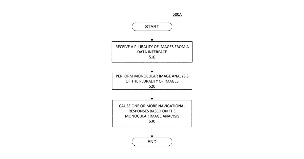
This invention describes a car navigation system that uses a camera to capture images of the road ahead. It identifies objects in the environment and the car's location, then uses detailed map information to determine how far away those objects are. Crucially, the system relies on pre-mapped data about the width of the road lanes to help decide the best navigational actions for the vehicle.
Why it matters: The rapid advancements in high-definition mapping technology since 2022, specifically for detailed lane-level data, make the "lane width profile" central to the claims more readily available and accurate. Concurrently, improved AI models for real-time image analysis have made the core processing more robust for navigation.
AI gives you a few directions you could take this. Pick one, and we check whether your version is different enough to patent, then write the filing.
Reinvent this with AI


