
Turn abandoned patents
into your own filing
into your own filing
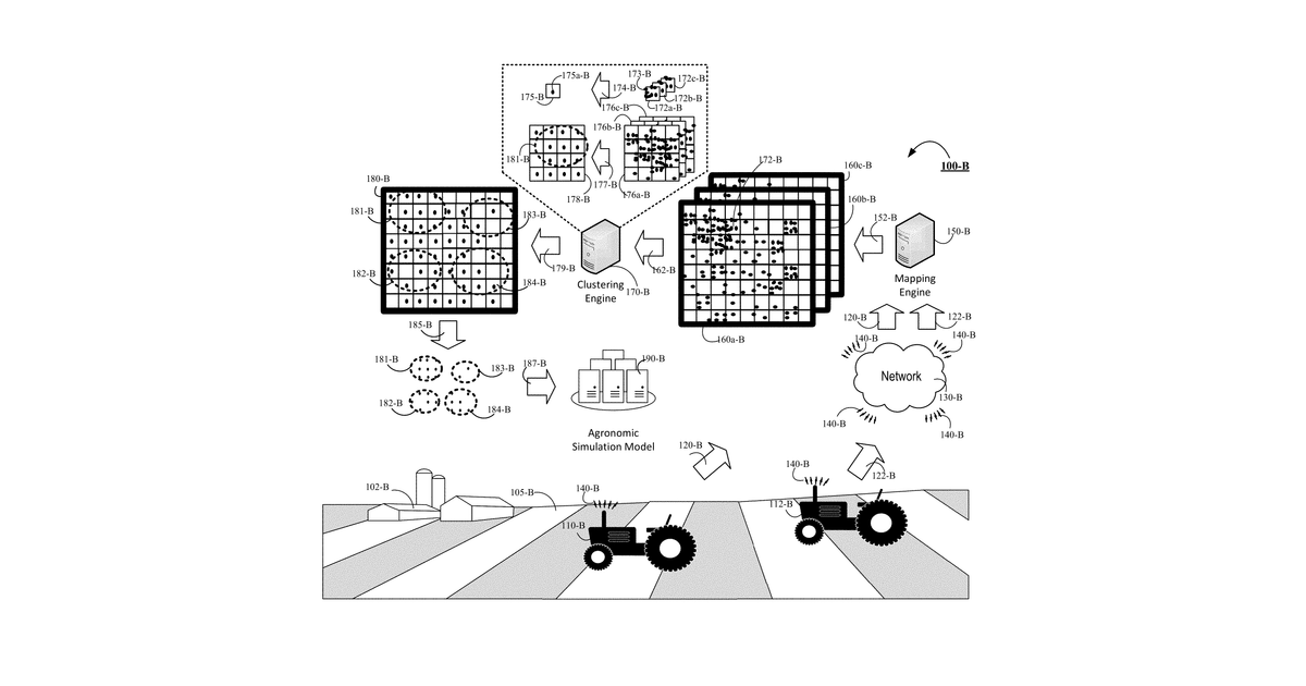
This invention describes a system for identifying optimal farming areas, called 'farmable zones.' It works by collecting agricultural data from a specific geographic region, selecting a relevant subset of that data, and then creating a detailed model of the region's properties. The claims further narrow this to dividing the property model into many neighborhoods of roughly the same size.
Why it matters: Filed before modern geospatial AI and machine learning could automate complex agricultural data modeling. These advancements make the 'learning' and 'modeling' steps significantly more effective.
AI gives you a few directions you could take this. Pick one, and we check whether your version is different enough to patent, then write the filing.
Reinvent this with AI


