
Turn abandoned patents
into your own filing
into your own filing
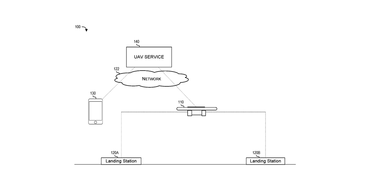
This invention describes a computer system that plans routes for drones. When someone requests a route from a starting point to a destination, the system gathers information about physical obstacles and restricted no-fly zones. It then calculates a safe path for the drone and sends that route to the drone wirelessly.
Why it matters: Filed before the widespread adoption of AI-powered dynamic route optimization and real-time geospatial data feeds. Today, these technologies make complex, adaptive drone route planning more feasible and efficient.
AI gives you a few directions you could take this. Pick one, and we check whether your version is different enough to patent, then write the filing.
Reinvent this with AI


