
Turn abandoned patents
into your own filing
into your own filing
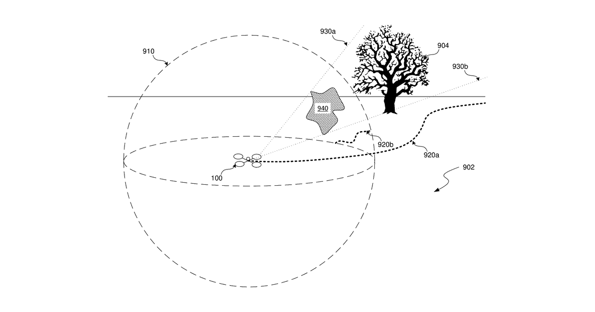
An autonomous aircraft plans its flight path by analyzing images captured from its surroundings. It processes these images to create a "cost map" where risky or undesirable areas are assigned higher costs. The aircraft then optimizes its trajectory to avoid these high-cost areas, ensuring a safer and more efficient journey.
Why it matters: Since 2023, advancements in AI-powered computer vision and edge computing have made real-time image analysis and depth estimation significantly more robust. This makes the core task of processing images to generate a cost function map for autonomous aircraft more practical and efficient.
AI gives you a few directions you could take this. Pick one, and we check whether your version is different enough to patent, then write the filing.
Reinvent this with AI


