
Turn abandoned patents
into your own filing
into your own filing
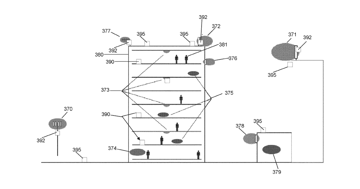
This invention describes a system that helps ensure 5G cellular sites are safe from excessive radio frequency (RF) radiation. It works by storing information about where 5G antennas are located at various sites. For each site, it calculates the RF power density in different areas and then creates a visual map that highlights specific zones where the RF levels exceed safety limits, distinguishing between areas for workers and areas for the general public.
Why it matters: The significant expansion and maturation of 5G networks since 2020 have provided more standardized network data and advanced RF planning tools, making automated RF exposure calculations and mapping more efficient and accurate.
AI gives you a few directions you could take this. Pick one, and we check whether your version is different enough to patent, then write the filing.
Reinvent this with AI


