
Turn abandoned patents
into your own filing
into your own filing
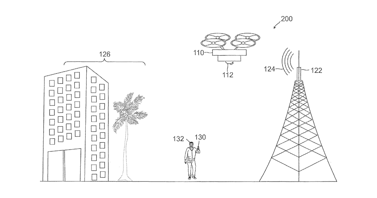
This invention describes a drone system designed to test and map cellular network signals. It uniquely adjusts its flight path based on interference caused by ground-level objects like buildings. The system then creates a three-dimensional map that highlights specific areas where signals are weak or blacked out due to these physical obstructions.
Why it matters: Filed before widespread AI for real-time environmental modeling and predictive signal propagation. Identifying ground-level interference and dynamically mapping 3D signal blackouts is now more efficient with advanced AI and drone edge computing.
AI gives you a few directions you could take this. Pick one, and we check whether your version is different enough to patent, then write the filing.
Reinvent this with AI


