
Turn abandoned patents
into your own filing
into your own filing
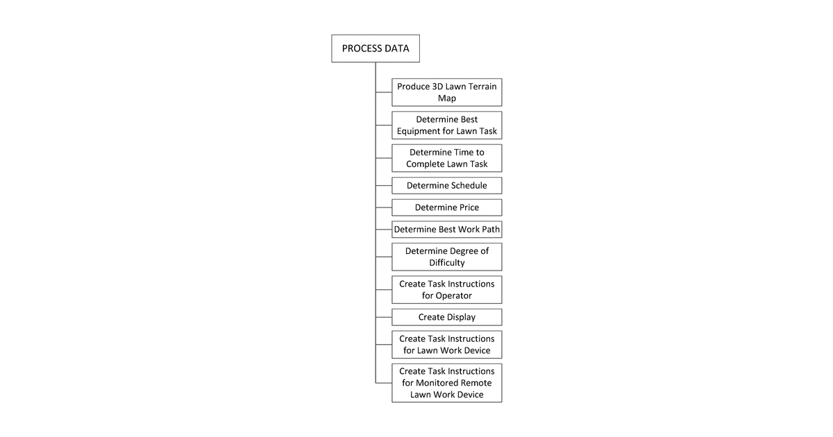
This invention describes a system that uses a vehicle, like a lawn mower, to create a 3D map of a lawn. As the vehicle drives, it collects its location from GPS, its tilt from an accelerometer, and other performance data. This information is sent wirelessly to a computer, which then generates a detailed contour map of the land.
Why it matters: Advances in spatial computing and sensor fusion algorithms since 2023 have made generating precise 3D contour maps from vehicle data more efficient and accurate.
AI gives you a few directions you could take this. Pick one, and we check whether your version is different enough to patent, then write the filing.
Reinvent this with AI


