
Turn abandoned patents
into your own filing
into your own filing
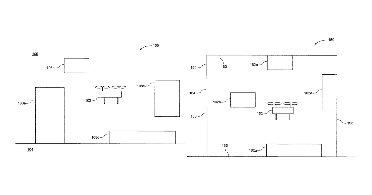
A drone is equipped with two types of sensors: a vision sensor (like a camera) and a proximity sensor. It gathers depth information from both. The drone then intelligently chooses which sensor's data is best for different parts of its surroundings, perhaps based on how clear the signal is or the type of environment it's in. This selected information is combined by finding matching points to build a detailed map, which the drone uses to fly and avoid obstacles.
Why it matters: Filed before the latest wave of AI advancements in sensor fusion and real-time mapping. The complex decision-making for sensor selection and the robust combination of depth images are now more achievable with improved machine learning algorithms for computer vision and SLAM.
AI gives you a few directions you could take this. Pick one, and we check whether your version is different enough to patent, then write the filing.
Reinvent this with AI


