
Turn abandoned patents
into your own filing
into your own filing
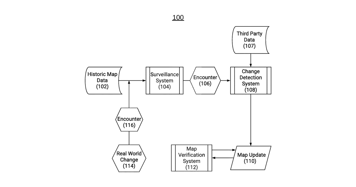
This invention describes a system for checking how accurate a digital map is. It works by estimating how reliable each map feature is, with reliability decreasing over time if it hasn't been recently updated. These estimates are then used to calculate a quality score for different map areas and an overall score for the entire map, helping to identify when more map updates are needed.
Why it matters: The increasing volume and velocity of real-time geospatial data from diverse sources since 2023 makes automated map quality assessment and decay modeling more critical for maintaining up-to-date digital maps.
AI gives you a few directions you could take this. Pick one, and we check whether your version is different enough to patent, then write the filing.
Reinvent this with AI


