
Turn abandoned patents
into your own filing
into your own filing
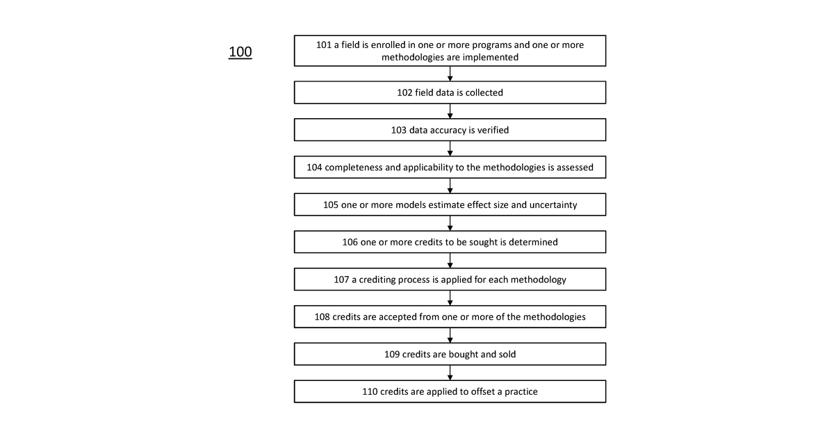
This invention describes a system that lets a user draw a region on a map. It then takes information about field boundaries and farming activities within that region. If it finds any farming practices are missing or not up to standard, it uses satellite data and machine learning to estimate what those missing or non-compliant practices might be.
Why it matters: Since 2023, the accessibility and accuracy of machine learning models for analyzing remote sensing data have improved, making the estimation of farming practice compliance more robust. This aligns with the growing need for verifiable data to support ecosystem credit programs, as suggested by the classification and title.
AI gives you a few directions you could take this. Pick one, and we check whether your version is different enough to patent, then write the filing.
Reinvent this with AI


