
Turn abandoned patents
into your own filing
into your own filing
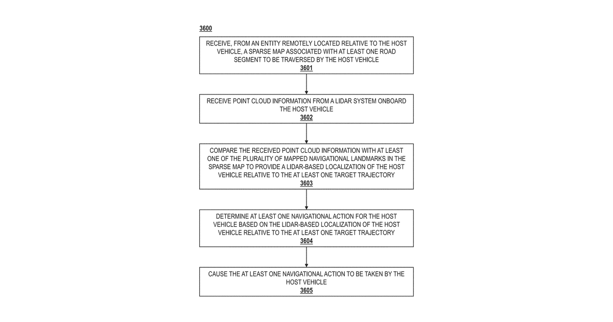
This describes a car's navigation system that gets a simplified map from a remote source. The car uses its onboard LIDAR to scan its surroundings, comparing what it sees to landmarks on the map to pinpoint its exact location relative to a planned route. Based on this, the system determines a driving action, specifically for maintaining its current direction, and then executes that action.
Why it matters: Since 2022, LIDAR hardware has become more compact and cost-effective, while cloud-based infrastructure for delivering and updating sparse maps has matured. These advancements make the remote map delivery and precise LIDAR-based localization described more practical for widespread implementation.
AI gives you a few directions you could take this. Pick one, and we check whether your version is different enough to patent, then write the filing.
Reinvent this with AI


