
Turn abandoned patents
into your own filing
into your own filing
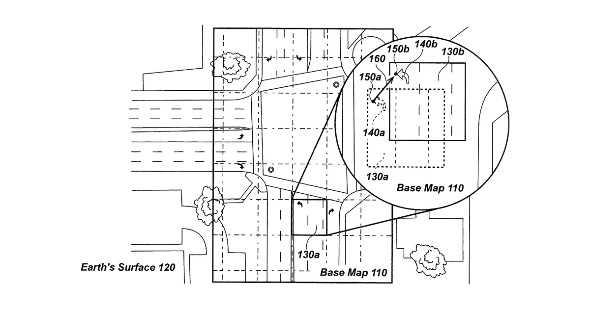
This invention describes a system for keeping digital maps up-to-date by refining the positions of features on them. It works by using a special device, specifically a mapping buried utility locator, to identify and precisely locate underground pipes and cables. The system then uses this highly accurate data from the locator to correct and improve the surrounding map information.
Why it matters: Filed before high-precision GNSS became more accessible for field devices. Advances in sensor fusion and AI for interpreting ground-penetrating data could now make the utility locator more accurate and its integration with mapping systems more seamless.
AI gives you a few directions you could take this. Pick one, and we check whether your version is different enough to patent, then write the filing.
Reinvent this with AI


