
Turn abandoned patents
into your own filing
into your own filing
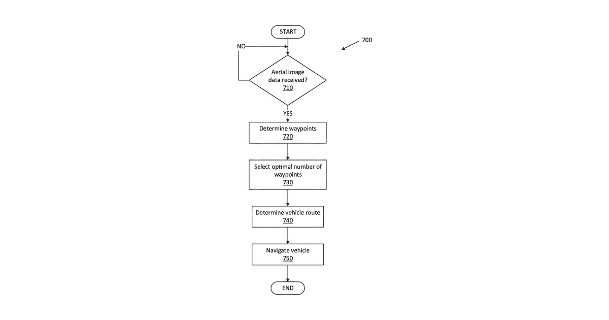
This system uses aerial pictures of an area to identify specific points on roads that need to be mapped. It then selects an optimal number of these road points and plans a route for a vehicle to drive, ensuring it covers all the chosen road sections for detailed mapping. The system specifically focuses on identifying physical properties of roads from the aerial images to select these mapping points.
Why it matters: Filed before advanced AI for image analysis became widely available. The claims' requirement for determining road features from aerial images is now significantly easier and more accurate with modern deep learning models, and autonomous vehicle technology has matured.
AI gives you a few directions you could take this. Pick one, and we check whether your version is different enough to patent, then write the filing.
Reinvent this with AI


