
Turn abandoned patents
into your own filing
into your own filing
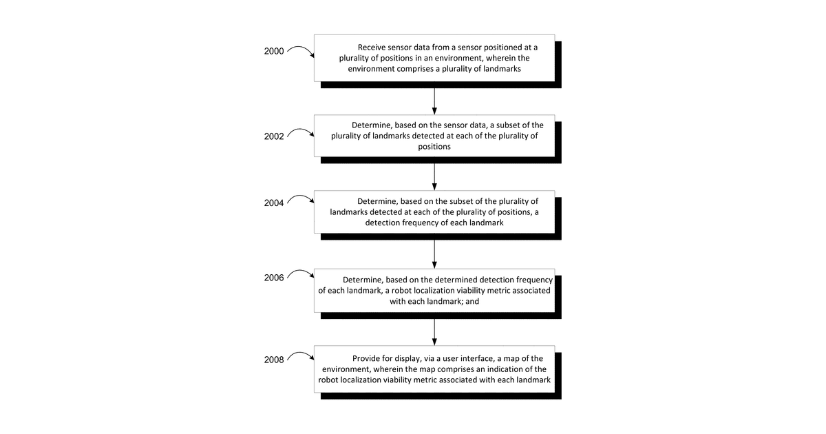
This invention describes a way to figure out which physical features in an area are best for a robot or device to use for navigation. It works by moving a sensor around, recording which features it sees from different spots, and then calculating how reliably each feature can be detected. This information is then shown on a map, highlighting the most useful features for localization, with the sensor specifically mounted on either a manually-operated device or a robotic vehicle.
Why it matters: Since 2017, advancements in AI-powered object recognition and cheaper, more capable sensors have made robust landmark detection significantly easier and more accurate. This reduces the technical hurdle for implementing the core data collection and analysis.
AI gives you a few directions you could take this. Pick one, and we check whether your version is different enough to patent, then write the filing.
Reinvent this with AI


