
Turn abandoned patents
into your own filing
into your own filing
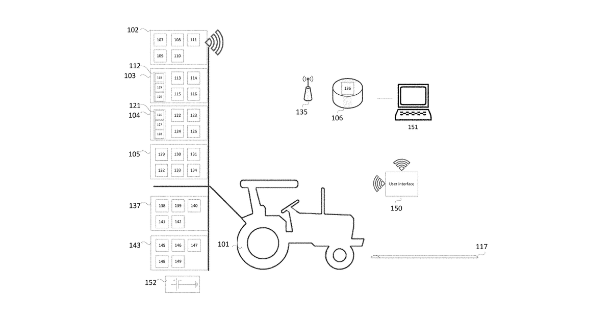
This invention describes a system for precisely measuring crop yields in orchards. A vehicle drives through the orchard, using a laser scanner (LiDAR) to create detailed 3D models of individual plants. It also measures the weight of harvested crops and tracks its own exact location, combining all this information to create accurate, geo-referenced maps of crop yield.
Why it matters: Since 2018, LiDAR sensors have become significantly more affordable and compact, making the core scanning component more practical. Advances in edge computing and sensor fusion algorithms also simplify the real-time data processing required.
AI gives you a few directions you could take this. Pick one, and we check whether your version is different enough to patent, then write the filing.
Reinvent this with AI


