
Turn abandoned patents
into your own filing
into your own filing
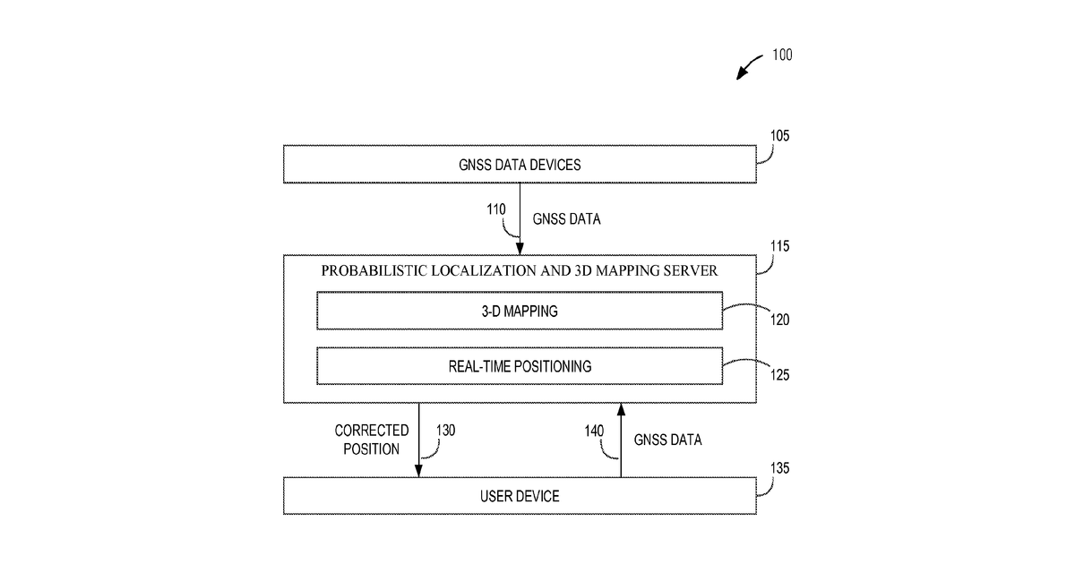
This invention describes a way to figure out where something is and map its surroundings at the same time, using only signals from GPS-like satellites. It works by taking the signal strength and location data from these satellites, then uses a smart mathematical method to guess if parts of the environment are blocked or clear, building a 3D map and pinpointing the receiver's location. The method specifically uses a probabilistic approach to assign likelihoods of line-of-sight or non-line-of-sight for each signal path based on its strength.
Why it matters: Computational power for complex probabilistic algorithms has increased significantly since 2014, and raw GNSS data, including SNR, is now more accessible from consumer devices, making this approach more feasible.
AI gives you a few directions you could take this. Pick one, and we check whether your version is different enough to patent, then write the filing.
Reinvent this with AI


