
Turn abandoned patents
into your own filing
into your own filing
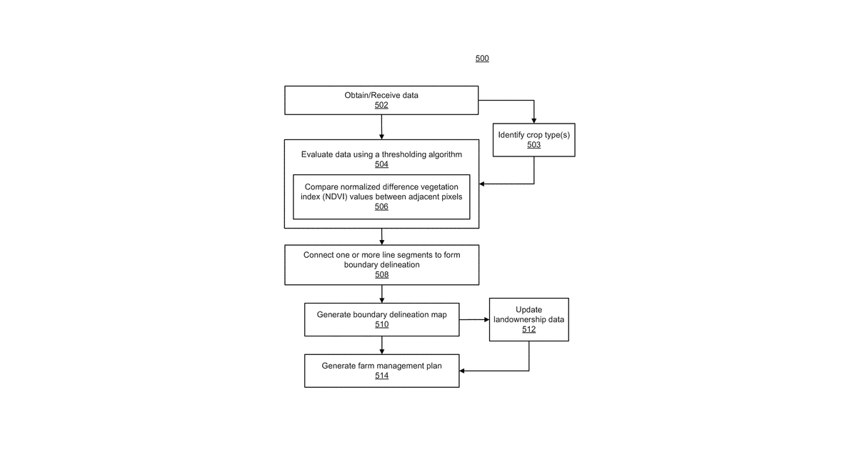
This invention describes a computer program designed to help manage farms by automatically mapping their boundaries. It works by analyzing satellite images, specifically looking at the type of vegetation present in each pixel. Using this vegetation data, the program employs a classification algorithm to identify edges and connect them, ultimately creating complete farm boundary maps. The claims specifically focus on using crop recognition and vegetation index values like NDVI to achieve this.
Why it matters: Filed before deep learning for image analysis was widely mature. Modern AI can now perform the classification and crop recognition with much greater accuracy and efficiency.
AI gives you a few directions you could take this. Pick one, and we check whether your version is different enough to patent, then write the filing.
Reinvent this with AI


